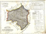
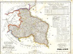
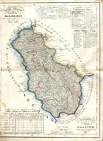
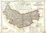
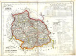
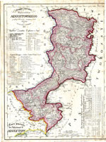
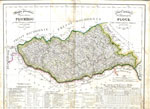
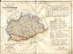
Atlas of the Kingdom of Poland Juliusz Colberg 1827
From the Atlas Królestwa Polskiego, składający się z 8 map geograficznych, z których każda wystawia jedno Województwo;
Atlas of the Polish Kingdom, consisting of eight geographical maps, each of which exposes one region, Juliusz Colberg, 1827.
Each map contains a statistical table, explanation of symbols including religious and scholastic institutions in both Polish and French.
Jewish communities are represented by a 'staff and serpent' symbol found in the legend under Instituits Religieux et Ecoles.
For a discussion of the wojewodztwa/guberniia of Poland visit: http://www.jewishgen.org/infofiles/poland/Q2.htm
Maps have been electronically joined from from two files each. Imperfections are visible at the joint of some maps.
Source: The Podlaska Digital Library http://pbc.biaman.pl/dlibra/docmetadata?id=1235&from=publication&
An alternate: https://polona.pl/item/47008061/7/
