Подробный атлас Российской Империи с планами главных городов
Detailed Atlas of the Russian Empire with Plans of Main Cities by Alexey Ilyin
The inset town plans represent the provincial capitals. Both the Jewish and Christian cemeteries are visible on some.
|
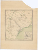
Karta Astrakhanskoj gubernii (1871)
Source: Digitalzace Univerzity Karlovy |
 |
|
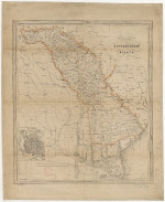
Karta Bessarabskoj oblasti (1871)
Bessarabia was elevated to Provincial status in 1872.
Source: Bibliotheque National de France |
 |
|
Courlandskoj gubernii (1871)
|
 |
|
Karta Ekaterinoslavskoj gubernii (1876)
Source: hungaricana.hu Copyright restrictions may apply
|
 |
|
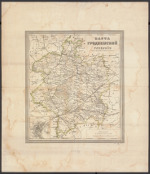
Karta Grodnenskoj gubernii (1876)
Source: National Library of Poland |
 |
|
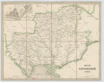
Karta Khersonskoj gubernii (1876)
Source: hungaricana.hu Copyright restrictions may apply |
 |
|
Karta Kievskoj gubernii (1876)
Courtesy of the Library of Congress |
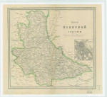 |
|
Karta Kovenskoj gubernii (1876)
Courtesy of the Library of Congress |
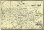 |
|
Karta Minskoj gubernii (1876)
Source: hungaricana.hu Copyright restrictions may apply |
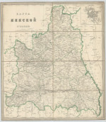 |
|
Karta Mogilevskoj gubernii (1876)
Courtesy of the Library of Congress |
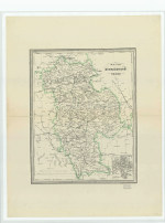 |
|
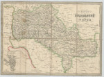
Karta Podolskoj gubernii (1876)
Source: hungaricana.hu Copyright restrictions may apply |
 |
|
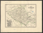
Karta Poltavskoj gubernii (1871)
|
 |
|
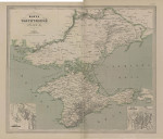
Karta Tavricheskoj gubernii (1871)
|
 |
|
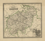
Karta Vilenskoj gubernii (1876)
Source: National Library of Poland |
 |
|
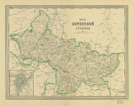
Karta Vitebskoj gubernii (1876)
Courtesy of the Library of Congress |
 |
|
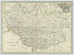
Karta Volynskoj gubernii (1876)
Source: hungaricana.hu Copyright restrictions may apply |
 |
