Inter-War Period
|
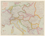
Europe Centrale (1925) Service géographique de l'Armée (Paris)
Source: Bibliotheque nationale de France |
 |
|
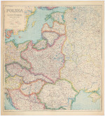
Polska i Kraje Ościenne (1925) The Military and Geographic Institute (Warsaw) Poland and Western Regions
|
 |
|
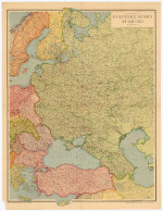
Evropské Rusko a Turecko (1942) Karel Cook European Russia and Turkey
|
 |
|
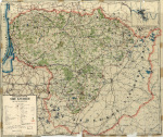
Verkerskarte von Litauen (1929) (Author unk)
Source: University of Wisconsin Milwaukee
|
 |
|
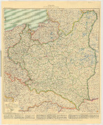
Polen (Rzeczpospolita Polska) (1922) C. Flemming
Source: hungaricana.hu |
 |
|
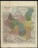
Mapa Polski (1927) A. Tomaszewski
Source: The National Library of Poland |
 |
|
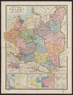
Polska mapa polityczna (1930) E. Romer
Source: Wroclaw Digital Library |
 |
|
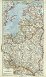
Polen und baltische Staaten (1934) Bibliographisches Institut (Lipsk)
Source: The National Library of Poland
|
 |
|
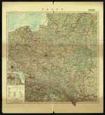
Polen (1939)
Legend in Polish and German
Source: The National Library of Poland |
 |
|
Stát Československý (1918-1930) F. Machat
|
 |
|
Politické rozděleni Československé republiky (1920) Military Geographic Institute
|
 |
|
Podrobny Prehled politickeho rozdeleni Zeme Slovenske A Podkarpatoruske (1936) Detailed overview of the political division of the Slovak and Subcarpathian lands
Source: Bibliotheque nationale de France |
 |
|
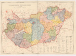
Administrative Map of Hungary (1929)
Source: hungaricana.hu |
 |
|
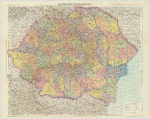
Handkarte von Rumanien (1930) K. Klammer
Source: hungaricana.hu |
 |
|
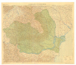
Handkarte von Rumanien (1939)
Source: hungaricana.hu |
 |
|
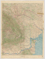
Romania (1943)
The area of Transnistria is added to Romania here for a brief period during WWII.
Source: hungaricana.hu |
 |
